


Hungarian Geography
ZoOm Hungary
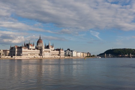
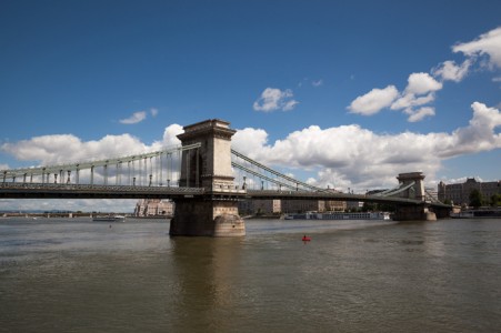
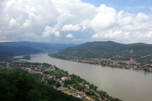
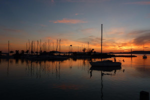
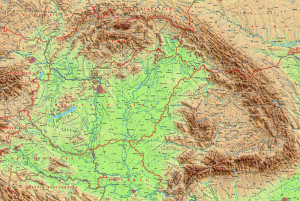
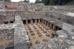
Hungary is a landlocked country; it has a strategic location astride main land routes between Western Europe and Balkan Peninsula as well as between Ukraine and Mediterranean basin; the north-south flowing Duna (Danube) and Tisza Rivers divide the country into three large regions.
Location: Central Europe. Geographic coordinates: 47 00 N, 20 00 E
Area
Total: 93,028 sq km (land: 89,608 sq km, water: 3,420 sq km)
Slightly smaller than Virginia; about the same size as Indiana
Country comparison to the world: 110
Land boundaries
Total: 2,106 km
Austria 321 km, Croatia 348 km, Romania 424 km, Serbia 164 km, Slovakia 627 km, Slovenia 94 km, Ukraine 128 km
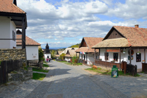
Terrain
Mostly flat to rolling plains; hills and low mountains on the Slovakian border.
Elevation extremes
Lowest point: Tisza River 78 m
Highest point: Kekes 1,014 m
Natural resources
Bauxite, coal, natural gas, fertile soils, arable land.